|
©The Archaeological Settlements of Turkey - TAY Project
|
|
|
|
|
|
Çatal Höyük |
|
|
For site maps and drawings please click on the picture...  |
For photographs please click on the photo... 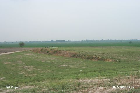 |
|
Type:
|
Mound |
|
Altitude:
|
80 m |
|
Region:
|
Mediterranean |
|
Province:
|
Osmaniye |
|
District:
|
Kadirli |
|
Village:
|
Karabacak |
|
Investigation Method:
|
Survey |
|
Period:
|
|
|
|
|
 |
|
| It is a low, formless mound, west of the Kadirli-Ceyhan motorway between Eskiler and Karabacak Village, 15 km southwest of Kadirli, northeast of Adana Province. It has a big terrace. Remains of a wall are visible on the surface. It was discovered during the Cilicia Survey. It has been laid out that the mound house the settlements of the Hittite, Hellenistic and Roman Periods. The EBA settlement has been attested by the samples of the metallic ware recovered by J. Mellaart from the surface. It was visited again by F. Tülek et al. during the Osmaniye Province and Districts Survey performed in 2006 [Tülek 2008:313]. |
| Location: |
| Geography and Environment: |
| History: |
| Research and Excavation: |
| Stratigraphy: |
| Small Finds: |
| Remains: |
| Interpretation and Dating: |