|
©The Archaeological Settlements of Turkey - TAY Project
|
|
|
|
|
|
Kavaklar |
|
|
For site maps and drawings please click on the picture...  |
For photographs please click on the photo... 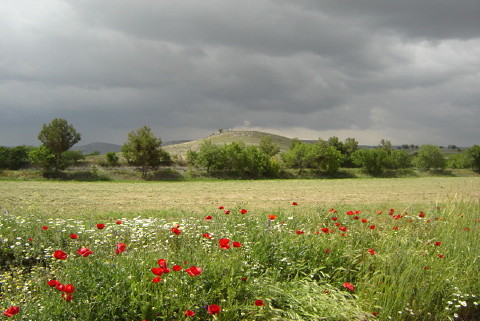 |
|
Type:
|
Mound |
|
Altitude:
|
m |
|
Region:
|
Aegean |
|
Province:
|
Denizli |
|
District:
|
Baklan |
|
Village:
|
Kavaklar |
|
Investigation Method:
|
Survey |
|
Period:
|
|
|
|
|
 |
|
| It is situated 500 m southwest from Kavaklar Village of Baklan District in Denizli. Büyük Menderes (Meander) River flows on the east side of it. |
| Location: |
| Geography and Environment: |
| History: |
| Research and Excavation: |
| Stratigraphy: |
| Small Finds: |
| Remains: |
| Interpretation and Dating: |