|
©The Archaeological Settlements of Turkey - TAY Project
|
|
|
|
|
|
Çardakli |
|
|
For site maps and drawings please click on the picture...  |
For photographs please click on the photo... 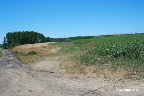 |
|
Type:
|
Mound |
|
Altitude:
|
-60 m |
|
Region:
|
Marmara |
|
Province:
|
Edirne |
|
District:
|
Merkez |
|
Village:
|
|
|
Investigation Method:
|
Survey |
|
Period:
|
|
|
|
|
 |
|
| It is a wide and shallow mound that lies next to the road running to Avariz Village on the western bank of the Tunca River; about 4 km north of Edirne Province. To the southeast are the buildings of Çardakli farm. The river flows immediately south of the farm. The area is also known as Eski Degirmen Mevkii and the settlement as Eski Degirmen Yolu. Two secondary roads running to Eski Degirmen divides the settlement into two. It was discovered during the Edirne Survey conducted by B. Erdogu in 1995. EBA material as well as material dating from the end of LBA and the beginning of Early Iron Age was collected from the surface. The EBA material is associated with Sveti Krilovo and Ezero wares of Bulgaria. |
| Location: |
| Geography and Environment: |
| History: |
| Research and Excavation: |
| Stratigraphy: |
| Small Finds: |
| Remains: |
| Interpretation and Dating: |