|
©The Archaeological Settlements of Turkey - TAY Project
|
|
|
|
|
|
Çaputcu |
|
|
For site maps and drawings please click on the picture...  |
For photographs please click on the photo... 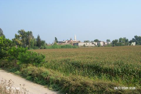 |
|
Type:
|
Mound |
|
Altitude:
|
70 m |
|
Region:
|
Mediterranean |
|
Province:
|
Adana |
|
District:
|
Merkez |
|
Village:
|
Çaputcu |
|
Investigation Method:
|
Survey |
|
Period:
|
|
|
|
|
 |
|
| It is located in the village it was named after; about 3.5 km away from the Ceyhan River; 19 km southwest of Adana Province. It has been severely damaged due to the contemporary village. Although sherds dating from the MBA; the LBA and the Hellenistic Period were recovered during the survey conducted by M.V. Seton Williams in 1951; presence of sherds datable to the EBA was reported during the surface collection carried out by D.H. French. |
| Location: |
| Geography and Environment: |
| History: |
| Research and Excavation: |
| Stratigraphy: |
| Small Finds: |
| Remains: |
| Interpretation and Dating: |