|
©The Archaeological Settlements of Turkey - TAY Project
|
|
|
|
|
|
Çandir 1-2 |
|
|
For site maps and drawings please click on the picture...  |
For photographs please click on the photo... 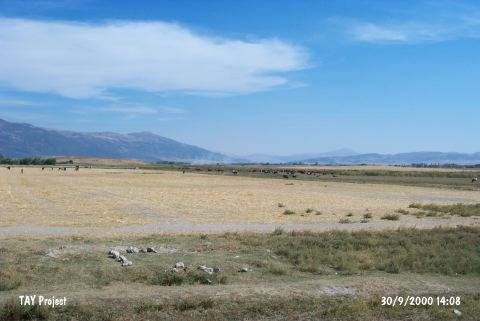 |
|
Type:
|
Mound |
|
Altitude:
|
750 m |
|
Region:
|
Aegean |
|
Province:
|
Denizli |
|
District:
|
Çivril |
|
Village:
|
Çandir |
|
Investigation Method:
|
Survey |
|
Period:
|
|
|
|
|
 |
|
| The twin mounds lie northeast of the city of Denizli; 26 km southeast of Çivril. They were discovered by Mellaart and named as Çivril 1 and Çivril 2. Chalcolithic Age sherds were collected from the surface. Those mounds were explored along with the Çandir Höyük; and Dogu Sahanlar Höyük in the southeast of Isikli Lake; and Domuz Höyük in the west of the Isikli Lake under the names: Çandir Büyük Höyük; Çandir Küçük Höyük; by E. Abay; and F. Dedeoglu in the scope of "Çivril Plain Survey" in 2005. The settlements described as single color; and multi color "Hacilar Boyalilari" have a size no larger than 1-2 hectare; and accumulate mostly at river; and lake shores; and show a scattered sight. All those characteristics prove there were no hierarchical structuring among the Neolithic-Early Chalcolithic Age settlements [Abay-Dedeoglu 2006:278]. The pottery of this period revealed during these surveys are known based on the Hacilar; Kuruçay; Bademagaci; settlements in Göller Bölgesi; and the layers that are dating to Late Neolithic; and Early Chalcolithic Age of Izmir Ulucak Höyük. The good quality hand-made red coated pottery consist mostly of "S" profile vessels; deep bowls; small jars; and bowls [Abay-Dedeoglu 2007:279]. |
| Location: |
| Geography and Environment: |
| History: |
| Research and Excavation: |
| Stratigraphy: |
| Small Finds: |
| Remains: |
| Interpretation and Dating: |