|
©The Archaeological Settlements of Turkey - TAY Project
|
|
|
|
|
|
Ak Höyük |
|
|
For site maps and drawings please click on the picture... 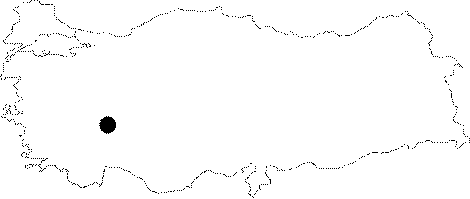 |
For photographs please click on the photo... 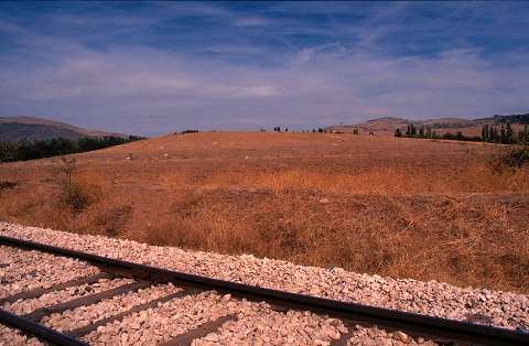 |
|
Type:
|
Mound |
|
Altitude:
|
930 m |
|
Region:
|
Aegean |
|
Province:
|
Afyonkarahisar |
|
District:
|
Dinar |
|
Village:
|
Merkez |
|
Investigation Method:
|
Survey |
|
Period:
|
Ceramic |
|
|
|
 |
|
| Ak Höyük lies south-southwest of the Afyonkarahisar city center and 5 km southeast of the town of Dinar. The exact location of the site has not been reported. There is a mound represented on a 1:200;000 map; lying in the fertile Dinar Plain which is fed by the Maeander (Büyük Menderes) River. The mound lies southeast of the Karakus Mountains and west of the 2;557 m high Mount Kapi. J. Mellaart has conducted a survey in this area. He assigns a fragment of a lipped bowl with a brown slipped; burnished exterior surface and a black interior surface to the Neolithic Period. It has not been determined whether there was Neolithic habitation in the area. Mellaart categorizes this site as one of the Hacilar horizon style sites. |
| Location: |
| Geography and Environment: |
| History: |
| Research and Excavation: |
| Stratigraphy: |
| Small Finds: |
| Remains: |
| Interpretation and Dating: |