|
©The Archaeological Settlements of Turkey - TAY Project
|
|
|
|
|
|
Çamur Höyük |
|
|
For site maps and drawings please click on the picture... 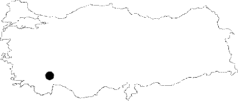 |
For photographs please click on the photo... 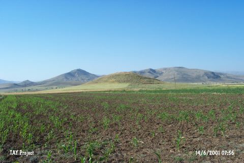 |
|
Type:
|
Mound |
|
Altitude:
|
1160 m |
|
Region:
|
Mediterranean |
|
Province:
|
Burdur |
|
District:
|
Karamanli |
|
Village:
|
Harmankaya |
|
Investigation Method:
|
Survey |
|
Period:
|
|
|
|
|
 |
|
| This site lies northwest of Harmankaya Village; approximately 4 km southeast of Karamanli District; southwest of the city of Burdur. It is located on Tefenni Plain and reported to measure 10 m in height and 100x200 m in dimensions. It is included in the EBA settlements by J. Mellaart. During the surface collection carried out by M. Özsait; finds dating from the EBA were recovered. |
| Location: |
| Geography and Environment: |
| History: |
| Research and Excavation: |
| Stratigraphy: |
| Small Finds: |
| Remains: |
| Interpretation and Dating: |