|
©The Archaeological Settlements of Turkey - TAY Project
|
|
|
|
|
|
Çamharasi 2 |
|
|
For site maps and drawings please click on the picture...  |
For photographs please click on the photo... 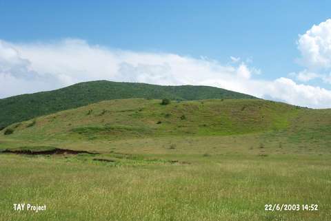 |
|
Type:
|
Slope Settlement |
|
Altitude:
|
1410 m |
|
Region:
|
Black Sea |
|
Province:
|
Ordu |
|
District:
|
Mesudiye |
|
Village:
|
Üçyol |
|
Investigation Method:
|
Survey |
|
Period:
|
|
|
|
|
 |
|
| The site lies southwest of Ordu; west-northwest of Mesudiye; near Üçyol village. It stretches from the northern ridges of a hill to the plain below. The site was discovered by M. Özsait in 1990. According to him; the majority of the ceramics are of black; brown and red slipped ware with Chalcolithic Age forms. There is also a little amount of EBA potsherds. Blades made of a local black stone; a kind of basalt; were found on the surface. Dating of these blades is not possible for now because of the lack of knowledge of the Palaeolithic age lithic industries. |
| Location: |
| Geography and Environment: |
| History: |
| Research and Excavation: |
| Stratigraphy: |
| Small Finds: |
| Remains: |
| Interpretation and Dating: |