|
©The Archaeological Settlements of Turkey - TAY Project
|
|
|
|
|
|
Çamasluoglu Tepesi |
|
|
For site maps and drawings please click on the picture...  |
For photographs please click on the photo... 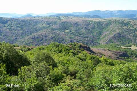 |
|
Type:
|
Flat Settlement |
|
Altitude:
|
1500 m |
|
Region:
|
Black Sea |
|
Province:
|
Ordu |
|
District:
|
Mesudiye |
|
Village:
|
Aricilar |
|
Investigation Method:
|
Survey |
|
Period:
|
EBA I |
|
|
|
 |
|
| The site lies south of Ordu; north-northwest of Mesudiye; 5 km southeast of Aricilar village. It was discovered during the 1991 Ordu-Mesudiye survey conducted by M. Özsait. Pottery of the Chalcolithic Age; the EBA I and the Phrygian Period was collected from the surface. They were recovered from the damaged northwestern and southern parts. They are washed largerly in black and rarely in red. Some bear projected lugs; knobs and incised decorations. |
| Location: |
| Geography and Environment: |
| History: |
| Research and Excavation: |
| Stratigraphy: |
| Small Finds: |
| Remains: |
| Interpretation and Dating: |