|
©The Archaeological Settlements of Turkey - TAY Project
|
|
|
|
|
|
Çamarasi 1 |
|
|
For site maps and drawings please click on the picture...  |
For photographs please click on the photo... 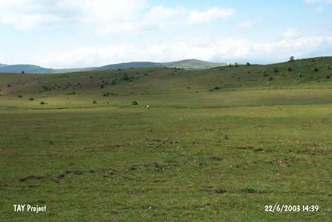 |
|
Type:
|
Flat Settlement |
|
Altitude:
|
1400 m |
|
Region:
|
Black Sea |
|
Province:
|
Ordu |
|
District:
|
Mesudiye |
|
Village:
|
Üçyol |
|
Investigation Method:
|
Survey |
|
Period:
|
|
|
|
|
 |
|
| The site lies southwest of Ordu; west-northwest of Mesudiye; 3.5 km southwest of Üçyol village. It is located on a wide plain south of Çamararasi Tepesi; which is at the north bank of Sahanli Suyu. The site was discovered during the Mesudiye Survey conducted by M. Özsait in 1990. Ceramics; collected from an area of 125x40 m; are black painted on both surfaces with Chalcolithic Age forms. There are also large knobbed-handles. In addition; EBA ware was found. |
| Location: |
| Geography and Environment: |
| History: |
| Research and Excavation: |
| Stratigraphy: |
| Small Finds: |
| Remains: |
| Interpretation and Dating: |