|
©The Archaeological Settlements of Turkey - TAY Project
|
|
|
|
|
|
Çaltidere |
|
|
For site maps and drawings please click on the picture... 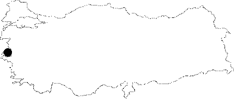 |
For photographs please click on the photo... 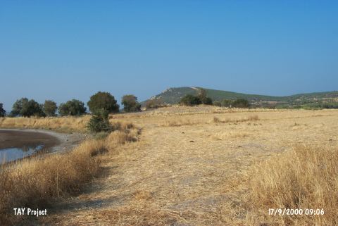 |
|
Type:
|
Mound |
|
Altitude:
|
0 m |
|
Region:
|
Aegean |
|
Province:
|
Izmir |
|
District:
|
Aliaga |
|
Village:
|
Çaltilidere |
|
Investigation Method:
|
Survey |
|
Period:
|
Late |
|
|
|
 |
|
| The site lies on the western side of the Bergama-Izmir motorway; 1 km southwest of the village of Çaltilidere; northeast of the district of Aliaga in the province of Izmir. It is on the southern shore of the Çandarli Peninsula; 200 m inland from the sea. According to J. Mellaart; the site is a Late Chalcolithic Age scatter. It takes place in the registered archaeological sites list prepared by Ministry of Culture and Tourism. |
| Location: |
| Geography and Environment: |
| History: |
| Research and Excavation: |
| Stratigraphy: |
| Small Finds: |
| Remains: |
| Interpretation and Dating: |