|
©The Archaeological Settlements of Turkey - TAY Project
|
|
|
|
|
|
Büyük Höyük |
|
|
For site maps and drawings please click on the picture...  |
For photographs please click on the photo... 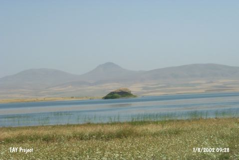 |
|
Type:
|
Mound |
|
Altitude:
|
875 m |
|
Region:
|
Central Anatolia |
|
Province:
|
Ankara |
|
District:
|
Evren |
|
Village:
|
Solakusagi |
|
Investigation Method:
|
Survey |
|
Period:
|
|
|
|
|
 |
|
| The mound lies southeast of Ankara; 7 km east of Evren; 4.5 km northeast of Solakusagi; at the shore of Hirfanli Dam. Its hillsides were destroyed because of the dam. The site was discovered during the Central Anatolia Survey conducted by S. Omura in 1991. It is situated in Sereflikoçhisar District of Ankara Province. It was researched during the survey by S. Omura in 2003. The dimensions of the mound are:45 m in north-south direction, 75 m in east-west direction, it is 10 m high. EBA, MBA, LBA and IA material were collected from the surface of the mound [Omura 2008:213; 217]. It is listed in the inventory of the registered archaeological sites prepared by Ministry of Culture and Tourism. |
| Location: |
| Geography and Environment: |
| History: |
| Research and Excavation: |
| Stratigraphy: |
| Small Finds: |
| Remains: |
| Interpretation and Dating: |