|
©The Archaeological Settlements of Turkey - TAY Project
|
|
|
|
|
|
Çakilarasi Tepesi |
|
|
For site maps and drawings please click on the picture...  |
For photographs please click on the photo... 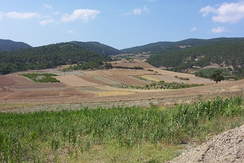 |
|
Type:
|
Mound |
|
Altitude:
|
405 m |
|
Region:
|
Marmara |
|
Province:
|
Bilecik |
|
District:
|
Osmaneli |
|
Village:
|
Çiftlik |
|
Investigation Method:
|
Survey |
|
Period:
|
EBA I |
|
|
|
 |
|
| It lies 200 m northeast of Çiftlik Village and 4 km west of Düzmese Village on a montane; northwest of Osmaneli District; Bilecik Province. It was discovered in 1990 by T. Efe who conducted a survey in the region. It stands on a natural hill. It measures 5.5 m in height and 70 m in diameter. Material collected from the surface can be dated to the Late Chalcolithic Age/EBA according to T. Efe. The southern slope and the lowland underlying it house a settlement from the Classical Period. |
| Location: |
| Geography and Environment: |
| History: |
| Research and Excavation: |
| Stratigraphy: |
| Small Finds: |
| Remains: |
| Interpretation and Dating: |