|
©The Archaeological Settlements of Turkey - TAY Project
|
|
|
|
|
|
Çatalhöyük (West) |
|
|
For site maps and drawings please click on the picture... 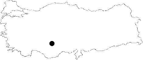 |
For photographs please click on the photo...  |
|
Type:
|
Mound |
|
Altitude:
|
903 m |
|
Region:
|
Central Anatolia |
|
Province:
|
Konya |
|
District:
|
Çumra |
|
Village:
|
Küçükköy |
|
Investigation Method:
|
Excavation |
|
Period:
|
Hellenistic Roman |
|
|
|
 |
|
| It lies 2 km north of the Hayiroglu Town; 2 km south of Küçükköy; approximately 11 km north of the Çumra District; 52 km southeast of the Konya Province. The settlement was founded in an alluvial plain on the bed of the former Konya Lake. Of the two adjacent mounds; one to the east and the other to the west; the eastern one was inhabited during the Neolithic Age while the western one during the Chalcolithic Age. It was discovered by J. Mellaart in 1958; and excavated in 1960s. The excavations are continued by the British Institute of Archaeology under the direction of I. Hodder. The highest point of the Western Mound at Çatalhöyük which was inhabited following the abandonment of the Neolithic Age settlement of the Eastern Mound is approximately 1004 m high from the sea level; and 6 m high from the plain level. It was found out that the vicinity of Çatalhöyük; where a significant Neolithic settlement is located; had been inhabited during the Hellenistic Period to a lesser degree and during the Roman-Byzantine Periods to a greater degree. It takes place in the registered archaeological sites list prepared by Ministry of Culture and Tourism. |
| Location: The site lies 52 km southeast of the city of Konya; approximately 11 km north of Çumra District; approximately 2 km south of Küçükköy; 2 km north of the town of Hayiroglu. Of the two mounds; the one at the east was settled in Neolithic Age; the other one at the west was settled in the Chalcolithic Age [Harmankaya et al. 1997:Çatalhöyük East]. |
| Geography and Environment: The highest point of Western Çatalhöyük; which was settled after people left the Neolithic Age settlement at the Eastern Çatalhöyük; is 6 m above the level of the plain that is 1004 m above the sea level. Its diameter is approximately 300 m. The northwestern part of the mound is cut by a road; and the northeastern part by an old river bed replaced by a channel. Another reason why its dimensions cannot be exactly understood is that the mound is partly surrounded by alluvium like in Eastern Çatalhöyük. According to the researches; Western Çatalhöyük covers an area of 6.9 hectares. This is 8.5 hectares when the find distribution at the level of the alluvium is considered [ Pollard et al. 1996:61-63; 71]. |
| History: |
| Research and Excavation: |
| Stratigraphy: |
| Small Finds: |
| Remains: |
| Interpretation and Dating: |