|
©The Archaeological Settlements of Turkey - TAY Project
|
|
|
|
|
|
Çakilarasi Tepesi |
|
|
For site maps and drawings please click on the picture...  |
For photographs please click on the photo... 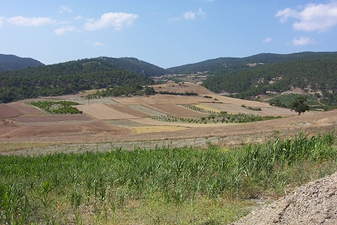 |
|
Type:
|
Mound |
|
Altitude:
|
405 m |
|
Region:
|
Marmara |
|
Province:
|
Bilecik |
|
District:
|
Osmaneli |
|
Village:
|
Çiftlik |
|
Investigation Method:
|
Survey |
|
Period:
|
Late |
|
|
|
 |
|
| The 5.5 m high mound; measuring 70 m in diameter; lies northwest of Osmaneli district of Bilecik province. It is located on a natural hill 200 m northeast of Çiftlik village; 4 km west of Düzmese village. The site was discovered during the Survey conducted by T. Efe in 1990. The surface finds date to the Late Chalcolithic Age-Early Bronze Age 1. In addition; there is a Classical Period settlement at the site. |
| Location: |
| Geography and Environment: |
| History: |
| Research and Excavation: |
| Stratigraphy: |
| Small Finds: |
| Remains: |
| Interpretation and Dating: |