|
©The Archaeological Settlements of Turkey - TAY Project
|
|
|
|
|
|
Çaglayankaya |
|
|
For site maps and drawings please click on the picture...  |
For photographs please click on the photo... 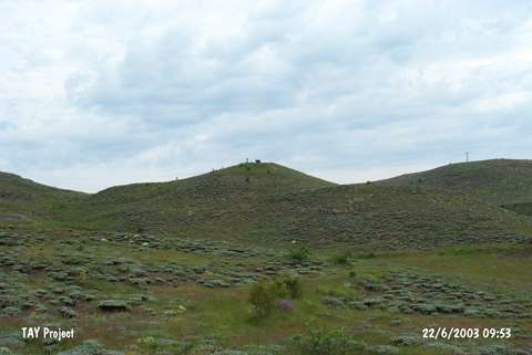 |
|
Type:
|
Flat Settlement |
|
Altitude:
|
1470 m |
|
Region:
|
Black Sea |
|
Province:
|
Ordu |
|
District:
|
Mesudiye |
|
Village:
|
Üçyol |
|
Investigation Method:
|
Survey |
|
Period:
|
|
|
|
|
 |
|
| The site lies southwest of Ordu; west-northwest of Mesudiye; 5 km west of Üçyol village; 300 m north of Uzunyol. It was discovered during the Mesudiye Survey conducted by M. Özsait. Although the site was first considered as a tumulus; brown and light red-slipped ware dating to the Early Chalcolithic Age were found on the surface. In addition; EBA and IA ceramics and grinding stones were collected. Large stones were taken out by the illicit diggers. Therefore; it is hard to say whether Çaglayankaya is a tumulus or a mound. |
| Location: |
| Geography and Environment: |
| History: |
| Research and Excavation: |
| Stratigraphy: |
| Small Finds: |
| Remains: |
| Interpretation and Dating: |