|
©The Archaeological Settlements of Turkey - TAY Project
|
|
|
|
|
|
Cirit Tepesi |
|
|
For site maps and drawings please click on the picture...  |
For photographs please click on the photo... 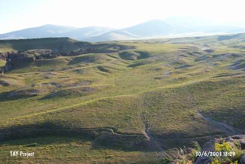 |
|
Type:
|
Flat Settlement |
|
Altitude:
|
1450 m |
|
Region:
|
Eastern Anatolia |
|
Province:
|
Kars |
|
District:
|
Merkez |
|
Village:
|
Ocakli |
|
Investigation Method:
|
Excavation |
|
Period:
|
|
|
|
|
 |
|
| It is located at Cirit Mevkii; east of the Bostan Stream and Ocakli (Ani) Village of Arpaçay; northeast of Kars Province. A small excavation was carried out by K. Balkan and O. Sümer in 1965. It was discovered by the villagers by coincidence. 16 vessels recovered from this site is; now; preserved at the Ankara Museum of Anatolian Civilizations. The excavations revealed a 102x205 cm four-cornered pile of stones made of quarry stones only 20 cm below the surface while a small room; up to 205 cm was revealed in a depth of 50 cm. Inside the room; a single-handled jug of burnished Karaz ware (?) with a black surface color was found. The function of this room was not clearly understood. It is uncertain if it is a grave. It is listed in the inventory of the registered archaeological sites prepared by Ministry of Culture and Tourism. |
| Location: |
| Geography and Environment: |
| History: |
| Research and Excavation: |
| Stratigraphy: |
| Small Finds: |
| Remains: |
| Interpretation and Dating: |