|
©The Archaeological Settlements of Turkey - TAY Project
|
|
|
|
|
|
Cinlitepe |
|
|
For site maps and drawings please click on the picture...  |
For photographs please click on the photo... 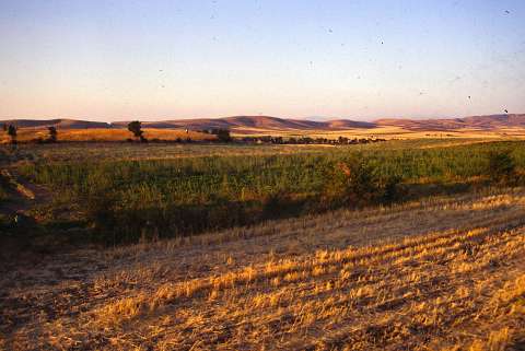 |
|
Type:
|
Mound |
|
Altitude:
|
580 m |
|
Region:
|
Black Sea |
|
Province:
|
Amasya |
|
District:
|
Göynücek |
|
Village:
|
Gediksaray |
|
Investigation Method:
|
Survey |
|
Period:
|
|
|
|
|
 |
|
| It lies 3 km northwest of Gediksaray Village; southwest of Amasya Province. It was discovered in 1989 during a survey conducted by M. Özsait. It is located at the end of a natural ridge. It covers a wide area. Pottery belonging to the EBA; the fifth millennium BC and the Roman Period was collected from the surface. It takes place in the registered archaeological sites list prepared by Ministry of Culture and Tourism. |
| Location: |
| Geography and Environment: |
| History: |
| Research and Excavation: |
| Stratigraphy: |
| Small Finds: |
| Remains: |
| Interpretation and Dating: |