|
©The Archaeological Settlements of Turkey - TAY Project
|
|
|
|
|
|
Cinderesi Sirti |
|
|
For site maps and drawings please click on the picture...  |
For photographs please click on the photo... 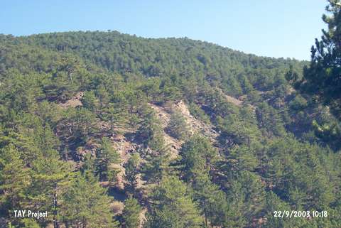 |
|
Type:
|
Slope Settlement |
|
Altitude:
|
970 m |
|
Region:
|
Black Sea |
|
Province:
|
Kastamonu |
|
District:
|
Merkez |
|
Village:
|
Gülef |
|
Investigation Method:
|
Survey |
|
Period:
|
EBA II EBA III |
|
|
|
 |
|
| It lies on the western slope of the valley where the Cinderesi flows through; north of Cinderesi; 300 m east of Gülef Village; northwest of Merkez District of Kastamonu Province. It was discovered in 1997 during a survey conducted by A. Özdogan; C. Marro and A. Tibet. The illicitly digged pits revealed limited number of EBA II/III material. Some are claimed to belong to the second millennium BC. |
| Location: |
| Geography and Environment: |
| History: |
| Research and Excavation: |
| Stratigraphy: |
| Small Finds: |
| Remains: |
| Interpretation and Dating: |