|
©The Archaeological Settlements of Turkey - TAY Project
|
|
|
|
|
|
Cigarliktepe / Kadiun |
|
|
For site maps and drawings please click on the picture...  |
For photographs please click on the photo... 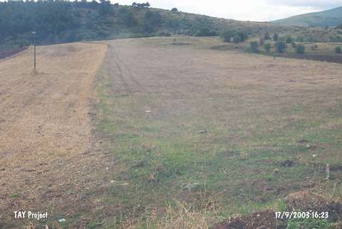 |
|
Type:
|
Flat Settlement |
|
Altitude:
|
958 m |
|
Region:
|
Black Sea |
|
Province:
|
Kastamonu |
|
District:
|
Tasköprü |
|
Village:
|
Alisaray |
|
Investigation Method:
|
Survey |
|
Period:
|
|
|
|
|
 |
|
| The site is located 1 km north of Alisaray village; south of Tasköprü district of the city of Kastamonu. It lies to the north-northwest of Tilkipinligi hill; southeast of Selavat hill and southwest of Cigarlik hill. It was discovered during the Kastamonu Survey conducted by A. Özdogan; C. Marro; and A. Tibet in 1996. Chalcolithic Age; EBA; Hellenistic and Roman Period wares were collected from the surface. |
| Location: |
| Geography and Environment: |
| History: |
| Research and Excavation: |
| Stratigraphy: |
| Small Finds: |
| Remains: |
| Interpretation and Dating: |