|
©The Archaeological Settlements of Turkey - TAY Project
|
|
|
|
|
|
Cengerli |
|
|
For site maps and drawings please click on the picture...  |
For photographs please click on the photo... 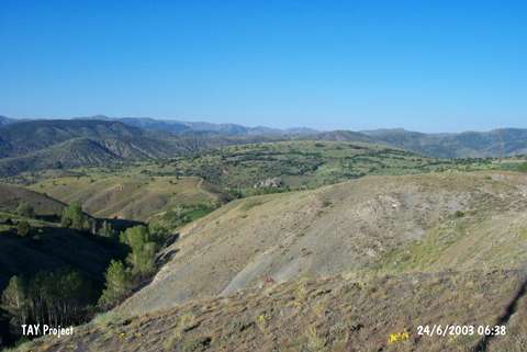 |
|
Type:
|
Flat Settlement |
|
Altitude:
|
1550 m |
|
Region:
|
Eastern Anatolia |
|
Province:
|
Erzincan |
|
District:
|
Refahiye |
|
Village:
|
Cengerli |
|
Investigation Method:
|
Survey |
|
Period:
|
|
|
|
|
 |
|
| It is located on the fields on the northern and eastern parts of a big rocky block; 1.8 km south of Cengerli Village; adjacent to a stream passing through it; about 13 km southeast of Refahiye; northwest of Erzincan Province. Fisin stream flows from the west and north of the settlement. The stair-like cavities on the northern part of the rocky block can be considered as if they were prepared for fortification walls. Because of the sherds dating from the Urartu Period; it is possible that it was an Urartu Castle. In the fields around; there are sherds of grooved rimmed; red-brown and very well burnished ware and red-gray mottled and burnished ware. Some are comparable with the finds of Kildirik and Tombul Tepe. It was discovered by S. Güneri. Another surface collection is necessary. |
| Location: |
| Geography and Environment: |
| History: |
| Research and Excavation: |
| Stratigraphy: |
| Small Finds: |
| Remains: |
| Interpretation and Dating: |