|
©The Archaeological Settlements of Turkey - TAY Project
|
|
|
|
|
|
Agzikarahan 1 |
|
|
For site maps and drawings please click on the picture...  |
For photographs please click on the photo... 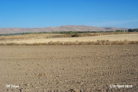 |
|
Type:
|
Mound |
|
Altitude:
|
1140 m |
|
Region:
|
Aegean |
|
Province:
|
Afyonkarahisar |
|
District:
|
Suhut |
|
Village:
|
Agzikara |
|
Investigation Method:
|
Survey |
|
Period:
|
|
|
|
|
 |
|
| It lies 3.6 km southeast of the village of Agzikara; 22 km south of Afyonkarahisar Province as the crow flies. It is locally known as Çatal Höyük. It is located in the Suhut Plain. It was discovered by J. Mellaart and documented naming after the nearest village under Mound No.1. To 13 m east lies the second mound. It is not illustrated in the EBA map of the guide prepared by the Afyon Archaeological Museum. |
| Location: |
| Geography and Environment: |
| History: |
| Research and Excavation: |
| Stratigraphy: |
| Small Finds: |
| Remains: |
| Interpretation and Dating: |