|
©The Archaeological Settlements of Turkey - TAY Project
|
|
|
|
|
|
Körteke Kalesi |
|
|
For site maps and drawings please click on the picture... 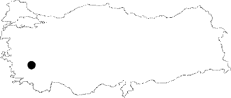 |
For photographs please click on the photo...  |
|
Type:
|
Fortress |
|
Altitude:
|
m |
|
Region:
|
Aegean |
|
Province:
|
Aydin |
|
District:
|
Bozdogan |
|
Village:
|
Körteke |
|
Investigation Method:
|
Survey |
|
Period:
|
Mycenean |
|
|
|
 |
|
| Location: It lies to the northwest of Goktepe of the Mugla Province; southeast of the Bozdogan District of the Aydin Province. It is approximately 900 m high from the sea [Fabricius 1980:322]. |
| Geography and Environment: |
| History: |
| Research and Excavation: A survey was conducted by Fabricius in 1970. It takes place in the registered archaeological sites list prepared by Ministry of Culture and Tourism. |
| Stratigraphy: |
| Small Finds: |
| Remains: The fortress called the Upper Fortress is founded on a triangle area. It is accessible by climbing a steep slope. The rock pieces were transported to the south to built a high and robust polygonal wall. The corners of the blocks were levelled. The wall is supported by square towers to the east and the west. There are four interconnected cell-like rooms in the middle of the wall. The walls of the tower and rooms are 130 cm wide. Various residence ruins were found to the north of the plain ground at the top of the mountain. There are cisterns as well [Fabricius 1980:323]. There is a terrace covering the whole southern slope 20 m below the upper fortress. A defense wall supports the terrace. This is called the Lower Fortress. It is pierced by five towers projecting both inwards and outwards. Large size stones were used for the construction as in the upper fortress. It was found out that some repairs were carried out on the walls of the lower fortress. The towers are 6-7 m wide. There are doors inside the towers. The access to the lower fortress is through a 227 cm wide gate to the east. The lentil above the door measuring 330 cm long; and 82 cm high still stands. On the terrace; some wall remains and traces of work done on the rock were found. The lower fortress includes cisterns; which were topped by domes [Fabricius 1980:324-326]. There is a second terrace; 45 m below the lower fortress. The rocks to the north of the terrace were processed and converted into walls. A cyclopic terrace wall was observed on the southern edge. Further below; there is another wall pertaining to the Middle Ages [Fabricius 1980:326]. No finds related to graves were uncovered in the immediate environment. Presence of many finds from the Hellenistic-Roman Periods in the Carian cities; while lack of such finds and resemblance of the structural styles in the highland settlements; which were hardly accessible; with those of the Mycenian cultural elements indicate that these settlements might; in fact; have been Lelegian settlements. It was concluded that Korteke Fortress had been inhabited during the ancient period; abandoned at an unidentified date; and then reinhabited in Middle Ages [Fabricius 1980:327-328]. |
| Interpretation and Dating: |