|
©The Archaeological Settlements of Turkey - TAY Project
|
|
|
|
|
|
Agziaçik Suyu |
|
|
For site maps and drawings please click on the picture... 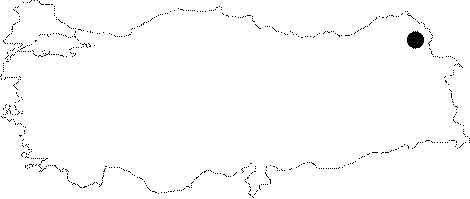 |
For photographs please click on the photo...  |
|
Type:
|
Single Findspot |
|
Altitude:
|
m |
|
Region:
|
Eastern Anatolia |
|
Province:
|
Kars |
|
District:
|
Susuz |
|
Village:
|
Agziaçik |
|
Investigation Method:
|
Survey |
|
Period:
|
AP OP |
|
|
|
 |
|
| Location: This site is north of the city of Kars; on a plain that lies west of the Agziaçik Stream in the village of Agziaçik. This village; also known as Azacik; lies 6-7 km northeast of the town of Susuz. |
| Geography and Environment: The Agziaçik Stream springs from Mount Er and flows south to the east of the village of Agziaçik before it joins the Cilavuz River; which is at a lower elevation. The area is hilly. |
| History: |
| Research and Excavation: In his 1952 survey of the province of Kars and the surroundings; I. K. Kökten found Palaeolithic pebble tools along the Agziaçik River. Although this site is not far from the site by the Cilavuz (Susuz) Stream (see map section above); we have preferred to treat them separately like other publications on Palaeolithic sites in Turkey. |
| Stratigraphy: |
| Small Finds: Even though the information provided on the small finds is minimal; it is indicated that one of the biface handaxes is oval in shape and shows a high level of craftsmanship [Kökten 1953: 196; fig. VII.2]. The tip of this basalt handaxe was found slightly fractured. Kökten believes the tool is Acheulèen while Tomsky further classifies it as Upper Acheulèen [Tomsky 1982:188]. Yalçinkaya does not provide a different interpretation about this find. In addition; a worn basalt Moustérien point was found at the same place [Kökten 1953: fig.VII.1]. |
| Remains: |
| Interpretation and Dating: |