|
©The Archaeological Settlements of Turkey - TAY Project
|
|
|
|
|
|
Madnasa |
|
|
For site maps and drawings please click on the picture... 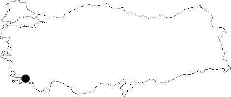 |
For photographs please click on the photo...  |
|
Type:
|
City |
|
Altitude:
|
m |
|
Region:
|
Aegean |
|
Province:
|
Mugla |
|
District:
|
Bodrum |
|
Village:
|
Gölköy |
|
Investigation Method:
|
Survey |
|
Period:
|
Archaic Classical Geometric |
|
|
|
 |
|
| Location: The ruins situated on a hill above the Turkbuku Cove; and Asagi Lake; north of the Bodrum District of the Mugla Province probably belong to the ancient city of Madnasa. It is located 13 km northeast of the ancient city of Myndus. |
| Geography and Environment: The city was possibly founded on the edge of a slope separated by a deep valley from Karadag to the south. |
| History: |
| Research and Excavation: It was investigated by Paton and Myres at the end of the 19th century; and by Guidi in 1921. A survey was conducted by Bean and Cook in 1950. It was visited during the survey conducted by A. Diler and his team in 2013 [Diler et al. 2015]. |
| Stratigraphy: |
| Small Finds: |
| Remains: Madnasa; a Lelegian city; initially paid 2 talents to the Delian League as tribute; and then decreased it to 1 talent. The last tribute paid was in 432 BC. The decrease may be explained by the grant of ships by Madnasa to the League; which is also supported by the location of Madnasa; which is very close to the sea. Stephanus Byzantius refers to the city as Medmasa (Medmassa or Medmasos). A cut stone tower located at the tophill where a settlement of roughly 300x90 m was founded; is enclosed by a small city wall. There are ruins of several structures inside the enclosed area. Further north there are ruins of a second wall built in dry wall technique; or polygonal technique. It is 1.5 m wide. The main gate opens into that second wall to the north. There are ruins of other buildings to the south of the tower on the tophill; and stairways; and a cistern to the northwest. Further to the northwest there are foundations of other buildings and a second tower. It was found that some of the foundations belonging to residences were supported by the external city walls as in the Gokceler and Alazeytin settlements. Rock tombs are located to the west. Most of the potsherds are dating to the Classical Period. Besides that; there are fragments dating to the Archaic and Geometrical Periods. The pottery samples show that the relations with the Archaic Greek world were more intense than with other settlements. Based on the large amount of potsherds from the Classical Period it is suggested that the settlement is dating to the Classical Period [Bean-Cook 1955:121-122; Bean 2000:121]. During the survey conducted in 2013 in Kaleyikigi Tepesi, a watchtower belonging to Maussollos Period was found on the highest point of the hill in the southeast section. The tower measures 11.50x6.50 m. It was biult in isodomic technique with embossment. This remnant is the only remain dated to 4th century BC [Diler et al. 2015:430-431]. |
| Interpretation and Dating: |