|
©The Archaeological Settlements of Turkey - TAY Project
|
|
|
|
|
|
Aratepe / Koskinia |
|
|
For site maps and drawings please click on the picture...  |
For photographs please click on the photo... 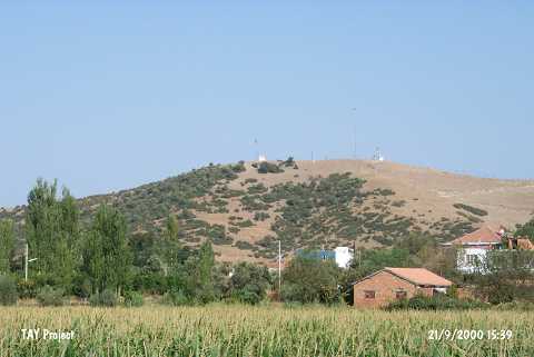 |
|
Type:
|
Mound |
|
Altitude:
|
140 m |
|
Region:
|
Aegean |
|
Province:
|
Aydin |
|
District:
|
Merkez |
|
Village:
|
Dalama |
|
Investigation Method:
|
Survey |
|
Period:
|
Roman |
|
|
|
 |
|
| It is located between the Dalama and Kirklar Villages; 1.6 km northeast of Dalama of the Aydin Province. It had a city status during the 1st century [Sevin 2001:112] Strabo lists Coscinia and Orthosia as noteworthy settlements on the far side of the Maeander River (south) near Nysa [Strabo 14; 1; 47]. Also; he tells about a river flowing from the country of the Coscinii to Alabanda [Strabo 13; 1; 10]. It takes place in the registered archaeological sites list prepared by Ministry of Culture and Tourism. |
| Location: |
| Geography and Environment: |
| History: |
| Research and Excavation: |
| Stratigraphy: |
| Small Finds: |
| Remains: |
| Interpretation and Dating: |