|
©The Archaeological Settlements of Turkey - TAY Project
|
|
|
|
|
|
Tavas |
|
|
For site maps and drawings please click on the picture...  |
For photographs please click on the photo... 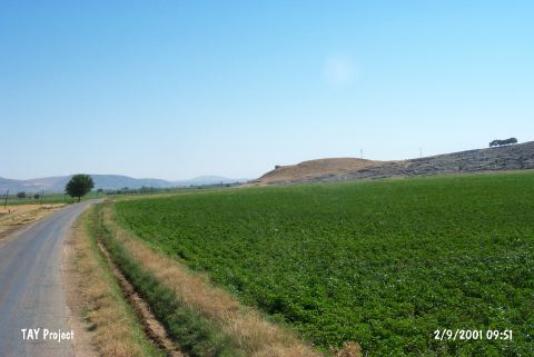 |
|
Type:
|
Mound |
|
Altitude:
|
610 m |
|
Region:
|
Southeastern Anatolia |
|
Province:
|
Adiyaman |
|
District:
|
Besni |
|
Village:
|
Asagi Sögütlü |
|
Investigation Method:
|
Survey |
|
Period:
|
|
|
|
|
 |
|
| It is situated in the Asagi Sögütlü Village, 2 km west-northwest of the Keysun (Çakirhöyük) Subdistrict of Besni District, northwest of Adiyaman. It is a conic hill measuring 125x100 m in dimensions, and 15 m in height. Although it was discovered in 1957 by C.A. Burney, it was not published. H. Russell repots presence of finds dating to the Chalcolithic Age, Iron Age and later [Russell 1980:138]. There further information is provided about the finds. It takes place in the registered archaeological sites list prepared by Ministry of Culture and Tourism. |
| Location: |
| Geography and Environment: |
| History: |
| Research and Excavation: |
| Stratigraphy: |
| Small Finds: |
| Remains: |
| Interpretation and Dating: |