|
©The Archaeological Settlements of Turkey - TAY Project
|
|
|
|
|
|
Büyük Avare |
|
|
For site maps and drawings please click on the picture...  |
For photographs please click on the photo... 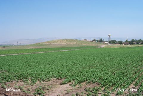 |
|
Type:
|
Mound |
|
Altitude:
|
200 m |
|
Region:
|
Mediterranean |
|
Province:
|
Hatay |
|
District:
|
Reyhanli |
|
Village:
|
Kulatepe |
|
Investigation Method:
|
Survey |
|
Period:
|
|
|
|
|
 |
|
| The broad and shallow mound lies at the north bank of Kizilark Stream; west of Reyhanli District; northeast of the city of Hatay. Kulatepe (Büyük Avare) Village is located at the top of the mound. It is medium in size considering the mounds of Amuq Plain. The stream was used as a water source by the inhabitants. The site was discovered during the 1936 Survey; documenting the settlements in Amuq Plain; conducted by R.J. Braidwood. Chalcolithic Age and Medieval finds were collected from the surface. |
| Location: |
| Geography and Environment: |
| History: |
| Research and Excavation: |
| Stratigraphy: |
| Small Finds: |
| Remains: |
| Interpretation and Dating: |