|
©The Archaeological Settlements of Turkey - TAY Project
|
|
|
|
|
|
Buralia |
|
|
For site maps and drawings please click on the picture...  |
For photographs please click on the photo... 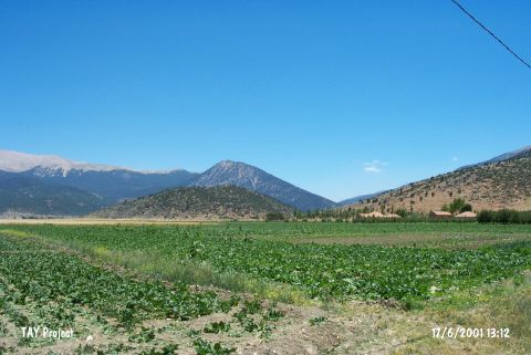 |
|
Type:
|
Flat Settlement |
|
Altitude:
|
1050 m |
|
Region:
|
Mediterranean |
|
Province:
|
Antalya |
|
District:
|
Elmali |
|
Village:
|
Tekkeköy |
|
Investigation Method:
|
Survey |
|
Period:
|
Late |
|
|
|
 |
|
| The site lies on northeastern skirts of the hill which the ruins of Podalia/Puralia locates; approximately 2 km south of Karamik Village and Elmali district of Antalya. It is named as Buralye Harabesi at the 1:200000 map. Late Chalcolithic Age ceramics were collected. |
| Location: |
| Geography and Environment: |
| History: |
| Research and Excavation: |
| Stratigraphy: |
| Small Finds: |
| Remains: |
| Interpretation and Dating: |