|
©The Archaeological Settlements of Turkey - TAY Project
|
|
|
|
|
|
Agilli |
|
|
For site maps and drawings please click on the picture...  |
For photographs please click on the photo... 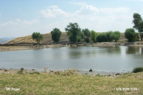 |
|
Type:
|
Mound |
|
Altitude:
|
1285 m |
|
Region:
|
Central Anatolia |
|
Province:
|
Nevsehir |
|
District:
|
Acigöl |
|
Village:
|
Agilli |
|
Investigation Method:
|
Survey |
|
Period:
|
|
|
|
|
 |
|
| It is located at Çayirlik Mevkii; 2.8 km west of Agilli Village; south of Acigöl District of Nevsehir Province. It is an oval shaped mound. It measures 170x110 m in dimensions and 25-30 m in height. It was discovered by I.A. Todd in 1964; and visited by S.Y. Senyurt in 1997. There are pits opened during illicit diggings. On the basis of the pottery recovered; Senyurt reports the presence of the EBA; MBA; LBA settlements as well as the Hellenistic and Roman Period settlements. It takes place in the registered archaeological sites list prepared by Ministry of Culture and Tourism. |
| Location: |
| Geography and Environment: |
| History: |
| Research and Excavation: |
| Stratigraphy: |
| Small Finds: |
| Remains: |
| Interpretation and Dating: |