|
©The Archaeological Settlements of Turkey - TAY Project
|
|
|
|
|
|
Bulanik Höyük |
|
|
For site maps and drawings please click on the picture...  |
For photographs please click on the photo... 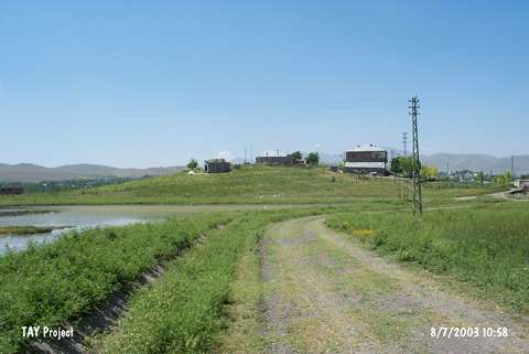 |
|
Type:
|
Mound |
|
Altitude:
|
1620 m |
|
Region:
|
Eastern Anatolia |
|
Province:
|
Mus |
|
District:
|
Merkez |
|
Village:
|
Merkez |
|
Investigation Method:
|
Survey |
|
Period:
|
|
|
|
|
 |
|
| It is located 250 m far from the right bank of a stream running both in summer and winter; about 1.5 km northeast of Bulanik District; northeast of Mus Province. West-northwest of the mound Bulanik-Malazgirt motorway passes. It is a small and conic mound; 5 m in height and 75 m in diameter. Sherds of the red-brown burnished ware were collected from the surface. It was discovered by C. A. Burney and dated to the EBA. Rothman includes it in the Phases 2-3 of the Kura-Aras Culture. |
| Location: |
| Geography and Environment: |
| History: |
| Research and Excavation: |
| Stratigraphy: |
| Small Finds: |
| Remains: |
| Interpretation and Dating: |