|
©The Archaeological Settlements of Turkey - TAY Project
|
|
|
|
|
|
Bulanik |
|
|
For site maps and drawings please click on the picture...  |
For photographs please click on the photo... 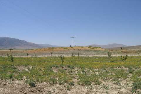 |
|
Type:
|
Mound |
|
Altitude:
|
1055 m |
|
Region:
|
Aegean |
|
Province:
|
Afyonkarahisar |
|
District:
|
Çay |
|
Village:
|
Bulanik |
|
Investigation Method:
|
Survey |
|
Period:
|
EBA II |
|
|
|
 |
|
| It lies about 1 km south-southeast of the village of Bulanik; on the western bank of the Lake Keramik; southeast of Afyonkarahisar Province. J. Mellaart includes it in the Akarçay EBA II group in accordance with the characteristics of the sherds collected from the surface. However; it is not included in the EBA settlements; but the settlements of the second millennium BC by the authorities of the Afyon Archaeological Museum. It is covered in our project depending on the J. Mellaart's interpretation. |
| Location: |
| Geography and Environment: |
| History: |
| Research and Excavation: |
| Stratigraphy: |
| Small Finds: |
| Remains: |
| Interpretation and Dating: |