|
©The Archaeological Settlements of Turkey - TAY Project
|
|
|
|
|
|
Hacilar Höyük |
|
|
For site maps and drawings please click on the picture...  |
For photographs please click on the photo... 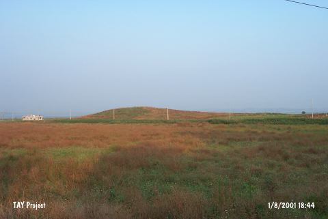 |
|
Type:
|
Mound |
|
Altitude:
|
90 m |
|
Region:
|
Mediterranean |
|
Province:
|
Adana |
|
District:
|
Ceyhan |
|
Village:
|
Merkez |
|
Investigation Method:
|
Survey |
|
Period:
|
|
|
|
|
 |
|
| It is a large mound with a flat top lying at the entrance of the Kurtkulagi Valley, 1 km south of Ceyhan, east of the provincial center of Adana. It has been heavily destroyed due to cultivation. The surface finds were evaluated by M.V. Seton-Williams, who reported that the site had been inhabited during the Iron Age, Roman and Byzantine Periods as well as the Chalcolithic Age based on the sherds [Seton-Williams 1954:156]. It takes place in the registered archaeological sites list prepared by Ministry of Culture and Tourism. |
| Location: |
| Geography and Environment: |
| History: |
| Research and Excavation: |
| Stratigraphy: |
| Small Finds: |
| Remains: |
| Interpretation and Dating: |