|
©The Archaeological Settlements of Turkey - TAY Project
|
|
|
|
|
|
Eskiler |
|
|
For site maps and drawings please click on the picture...  |
For photographs please click on the photo... 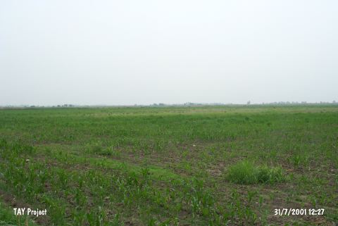 |
|
Type:
|
Mound |
|
Altitude:
|
80 m |
|
Region:
|
Mediterranean |
|
Province:
|
Adana |
|
District:
|
Merkez |
|
Village:
|
Eskiler |
|
Investigation Method:
|
Survey |
|
Period:
|
|
|
|
|
 |
|
| It is located on the Ceyhan-Kadirli motorway, 19 km northeast of Ceyhan, northeast of the provincial district of Adana. It is a small hill with a height of 6 m, and it has been destroyed by the adjacent building to a great extent. During the Cilician Survey in 1951 conducted under the direction of M.V. Seton-Williams, sherds dating to the Hittite and Hellenistic Periods as well as straw tempered ware from the Early Bronze Age as were collected from the surface [Seton-Williams 1954:154-155; findspot no. 86]. |
| Location: |
| Geography and Environment: |
| History: |
| Research and Excavation: |
| Stratigraphy: |
| Small Finds: |
| Remains: |
| Interpretation and Dating: |