|
©The Archaeological Settlements of Turkey - TAY Project
|
|
|
|
|
|
Çamasluoglu Tepesi |
|
|
For site maps and drawings please click on the picture...  |
For photographs please click on the photo... 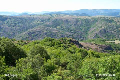 |
|
Type:
|
Flat Settlement |
|
Altitude:
|
1500 m |
|
Region:
|
Black Sea |
|
Province:
|
Ordu |
|
District:
|
Mesudiye |
|
Village:
|
Aricilar |
|
Investigation Method:
|
Survey |
|
Period:
|
|
|
|
|
 |
|
| This hilltop settlement located in the Aricilar Upland lies 5 km southeast of the Aricilar Village. Limited number of sherds from the Chalcolithic Age and Phrygian Age were found [Özsait 1993:315-316]. |
| Location: |
| Geography and Environment: |
| History: |
| Research and Excavation: |
| Stratigraphy: |
| Small Finds: |
| Remains: |
| Interpretation and Dating: |