|
©The Archaeological Settlements of Turkey - TAY Project
|
|
|
|
|
|
Boyali Höyük |
|
|
For site maps and drawings please click on the picture...  |
For photographs please click on the photo... 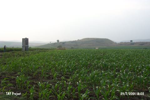 |
|
Type:
|
Mound |
|
Altitude:
|
75 m |
|
Region:
|
Mediterranean |
|
Province:
|
Adana |
|
District:
|
Ceyhan |
|
Village:
|
Kurtkulagi |
|
Investigation Method:
|
Survey |
|
Period:
|
|
|
|
|
 |
|
| It lies about 4.5 km southeast of the Kurtkulagi (Kurtkuluk) Village on the western edge of a basalt elevation on the eastern bank of the Kizilsu Valley, east of the provincial center of Adana. It was discovered in 1951 by M.V. Seton-Williams, and called Soyalı Höyügü. During that survey, sherds that may have been dated to the Middle and Late Bronze Ages, Iron Age, Hellenistic, Roman and Byzantine Periods were collected from the surface [Seton-Williams 1954:169]. It takes place in the registered archaeological sites list prepared by Ministry of Culture and Tourism. |
| Location: |
| Geography and Environment: |
| History: |
| Research and Excavation: |
| Stratigraphy: |
| Small Finds: |
| Remains: |
| Interpretation and Dating: |