|
©The Archaeological Settlements of Turkey - TAY Project
|
|
|
|
|
|
Agilkaya |
|
|
For site maps and drawings please click on the picture...  |
For photographs please click on the photo... 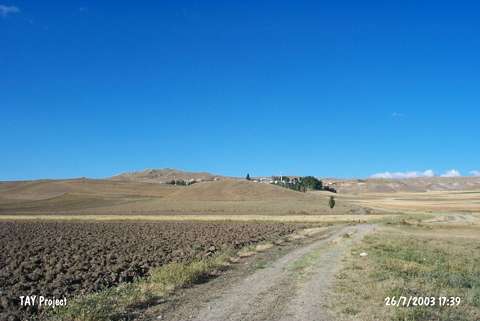 |
|
Type:
|
Mound |
|
Altitude:
|
1390 m |
|
Region:
|
Central Anatolia |
|
Province:
|
Sivas |
|
District:
|
Merkez |
|
Village:
|
Agilkaya |
|
Investigation Method:
|
Survey |
|
Period:
|
|
|
|
|
 |
|
| The mound lies southeast of Sivas; southwest of Agilkaya (Payaç) Village; on the broad plain; between Karasu and Kesrik streams. West of the mound the hill called Kralkaya stands. It was discovered by T. Ökse in 1992. The sherds is of the Chalcolithic and EBA; however; no detailed information about the finds is given. It takes place in the registered archaeological sites list prepared by Ministry of Culture and Tourism. It was visited during the survey conducted by A. Engin in 2013. Engin stated that the mound measures 150x70 m in dimensions and 15 m in height. The surface materials are dated to Chalcolithic, EBA, LBA and IA [Engin et al. 2015:413]. |
| Location: |
| Geography and Environment: |
| History: |
| Research and Excavation: |
| Stratigraphy: |
| Small Finds: |
| Remains: |
| Interpretation and Dating: |