|
©The Archaeological Settlements of Turkey - TAY Project
|
|
|
|
|
|
Bozköy Höyücek |
|
|
For site maps and drawings please click on the picture...  |
For photographs please click on the photo... 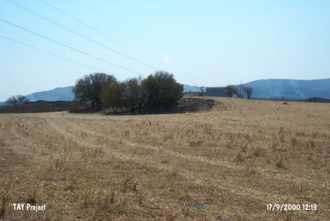 |
|
Type:
|
Mound |
|
Altitude:
|
10 m |
|
Region:
|
Aegean |
|
Province:
|
Izmir |
|
District:
|
Aliaga |
|
Village:
|
Bozköy |
|
Investigation Method:
|
Excavation |
|
Period:
|
EBA II EBA I |
|
|
|
 |
|
| It is reported to lie around Bozköy Village; 2 km south of the ancient city of Kyme; 6 km south of Aliaga Farm; northwest of Menemen District and Izmir Province. Although it is locally called Höyücek; it is better to call it Bozköy Höyücek to prevent any confusion with other Höyücek sites [Yakar 1985a: 152]. It can be reached at 1 km after the exit on the right side of the Menemen-Bergama highway. It is a flat; small and oval-shaped mound. To the east; there are traces of destruction pits digged by the treasure hunters. In 1955 and 1958; it was excavated by a team under M. Senyürek; H. Gültekin and E. Senyürek for a short period of time. It was digged till 2 m depth; however the virgin soil was not reached. It is reported to have two architectural levels. Sherds of Troy I were recovered from both levels. No information is provided about those groups of ware. It is suggested that the mound was abandoned during the EBA II. It is a small settlement. It takes place in the registered archaeological sites list prepared by Ministry of Culture and Tourism. |
| Location: |
| Geography and Environment: |
| History: |
| Research and Excavation: |
| Stratigraphy: |
| Small Finds: |
| Remains: |
| Interpretation and Dating: |