|
©The Archaeological Settlements of Turkey - TAY Project
|
|
|
|
|
|
Alyahanun |
|
|
For site maps and drawings please click on the picture...  |
For photographs please click on the photo... 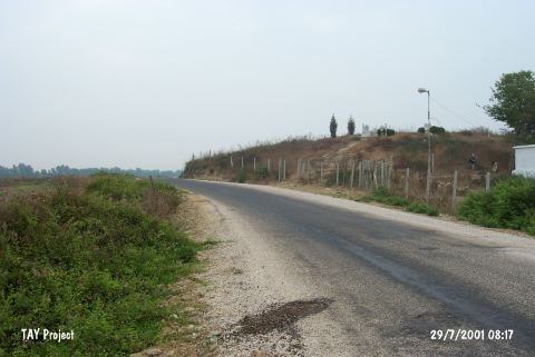 |
|
Type:
|
Mound |
|
Altitude:
|
65 m |
|
Region:
|
Mediterranean |
|
Province:
|
Adana |
|
District:
|
Karatas |
|
Village:
|
Yerdelen |
|
Investigation Method:
|
Survey |
|
Period:
|
|
|
|
|
 |
|
| The mound lies 1.2 km northeast of Yerdelen Village; 19 km south-southwest of Adana Province. It is located 100 m off the eastern bank of the Seyhan River. Based on the sherds collected during the Cilicia Survey in 1951, it was proposed that it had been occupied from the Chalcolithic Age throughout the Roman Period [Seton-Williams 1954:130-148]. |
| Location: |
| Geography and Environment: |
| History: |
| Research and Excavation: |
| Stratigraphy: |
| Small Finds: |
| Remains: |
| Interpretation and Dating: |