|
©The Archaeological Settlements of Turkey - TAY Project
|
|
|
|
|
|
Akpinar |
|
|
For site maps and drawings please click on the picture...  |
For photographs please click on the photo... 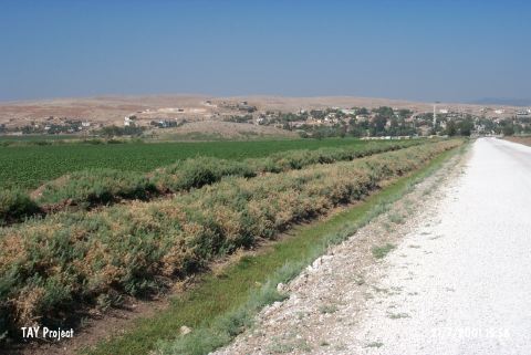 |
|
Type:
|
Mound |
|
Altitude:
|
170 m |
|
Region:
|
Mediterranean |
|
Province:
|
Hatay |
|
District:
|
Kumlu |
|
Village:
|
Akpinar |
|
Investigation Method:
|
Survey |
|
Period:
|
|
|
|
|
 |
|
| It lies 2 km to the south of the motorway between Hamam and Kirikhan, 8.5 km northwest of the Hamam Subdistrict as the crow flies, southeast of the Kirikhan District, northeast of Antakya, the city center of Hatay. Surrounded by fertile fields, it can be dated to the Chalcolithic Age based on the sherds collected from the surface. Also found are sherds from the Early Bronze, Late Bronze and Iron Ages and the Hellenistic-Roman Periods [Braidwood 1937:24]. |
| Location: |
| Geography and Environment: |
| History: |
| Research and Excavation: |
| Stratigraphy: |
| Small Finds: |
| Remains: |
| Interpretation and Dating: |