|
©The Archaeological Settlements of Turkey - TAY Project
|
|
|
|
|
|
Bozhöyük |
|
|
For site maps and drawings please click on the picture... 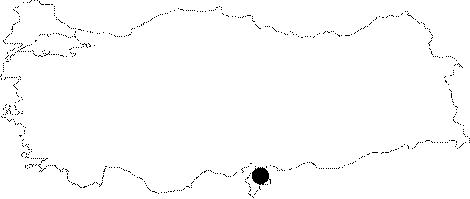 |
For photographs please click on the photo... 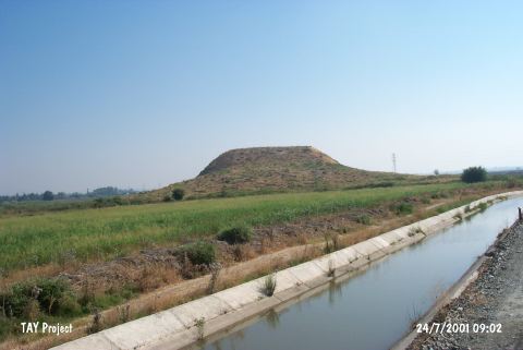 |
|
Type:
|
Mound |
|
Altitude:
|
120 m |
|
Region:
|
Mediterranean |
|
Province:
|
Hatay |
|
District:
|
Kirikhan |
|
Village:
|
Kamisli |
|
Investigation Method:
|
Survey |
|
Period:
|
Ceramic |
|
|
|
 |
|
| This site lies east of Tahtaköprü Dam watering channel; 1.4 km away from Kamisli Village; approximately 17 km north-northeast of the town of Kirikhan; northeast of Hatay Province. It lies immediately east of the Kirikhan-Hassa highway; at the tip of the northern extension of the Amuq Plain; by the town of Hassa. The Karasu River flows very close by the mound. J. Garstang and U.B. Alkim's survey on this mound concluded that the ceramics resembled the Yumuktepe Neolithic assemblages as well as Amuq B material. With some reservations this site can be dated to the Late Neolithic Period. In ASPRO; it was assigned to the fifth and sixth periods. It takes place in the registered archaeological sites list prepared by Ministry of Culture and Tourism. |
| Location: |
| Geography and Environment: |
| History: |
| Research and Excavation: |
| Stratigraphy: |
| Small Finds: |
| Remains: |
| Interpretation and Dating: |