|
©The Archaeological Settlements of Turkey - TAY Project
|
|
|
|
|
|
Agapinar |
|
|
For site maps and drawings please click on the picture...  |
For photographs please click on the photo... 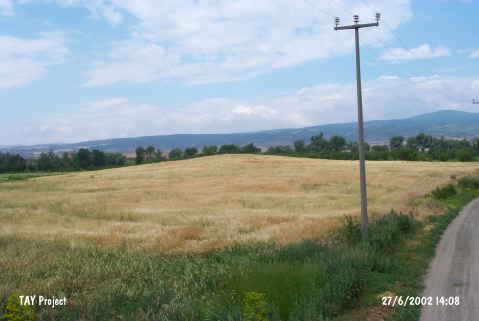 |
|
Type:
|
Mound |
|
Altitude:
|
805 m |
|
Region:
|
Central Anatolia |
|
Province:
|
Eskisehir |
|
District:
|
Merkez |
|
Village:
|
Agapinar |
|
Investigation Method:
|
Survey |
|
Period:
|
EBA I EBA II |
|
|
|
 |
|
| It is located north of Zeytinoglu Farm; 2 km northwest of Agapinar on the Eskisehir-Alpu motorway. It was discovered on a lowland; east of Eskisehir during a survey conducted in Bilecik and Eskisehir in 1993. It measures 230 m in diameter and 5 m in height. Samples of the EBA I-II; second millennium BC and Classical Period pottery were recovered. |
| Location: |
| Geography and Environment: |
| History: |
| Research and Excavation: |
| Stratigraphy: |
| Small Finds: |
| Remains: |
| Interpretation and Dating: |