|
©The Archaeological Settlements of Turkey - TAY Project
|
|
|
|
|
|
Bokluca / Baldiran |
|
|
For site maps and drawings please click on the picture...  |
For photographs please click on the photo... 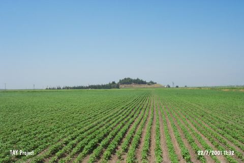 |
|
Type:
|
Mound |
|
Altitude:
|
145 m |
|
Region:
|
Mediterranean |
|
Province:
|
Hatay |
|
District:
|
Kirikhan |
|
Village:
|
Baldiran |
|
Investigation Method:
|
Survey |
|
Period:
|
|
|
|
|
 |
|
| It has been occupied by the houses of Baldiran Village; 11 km southeast of Kirkhan District of Hatay Province. There are remains of small villages dating back to the third millennium BC; the Roman Period and Middle Age. It was discovered by R. Braidwood in 1935. It is a big and high mound. The extent of the damage resulted from the heavy cultivation in the Amuq Plain is unknown. At present; it has been obscured by a modern settlement. Probably; the well spring next to foothill surrounded by a fertile land played a major role for occupying this site. |
| Location: |
| Geography and Environment: |
| History: |
| Research and Excavation: |
| Stratigraphy: |
| Small Finds: |
| Remains: |
| Interpretation and Dating: |