|
©The Archaeological Settlements of Turkey - TAY Project
|
|
|
|
|
|
No Name (Merkez / Intepe) |
|
|
For site maps and drawings please click on the picture...  |
For photographs please click on the photo... 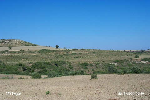 |
|
Type:
|
Mound |
|
Altitude:
|
95 m |
|
Region:
|
Marmara |
|
Province:
|
Çanakkale |
|
District:
|
Merkez |
|
Village:
|
Intepe |
|
Investigation Method:
|
Survey |
|
Period:
|
|
|
|
|
 |
|
| It is in the village of Intepe; province of Çanakkale. It is located between the settlements of Isildak Tepe and Çoban Tepe; 2.2 km east of Çoban Tepe. It lies on a lower outcrop to the south of the Dardanelles. The settlement leans against the ridges of the Çiftlik valley and its foothills extend towards north. The mound was observed and documented during TAYEx 2000 Marmara region [TAYEx 22.6.2000]. |
| Location: |
| Geography and Environment: |
| History: |
| Research and Excavation: |
| Stratigraphy: |
| Small Finds: |
| Remains: |
| Interpretation and Dating: |