|
©The Archaeological Settlements of Turkey - TAY Project
|
|
|
|
|
|
Tadim |
|
|
For site maps and drawings please click on the picture...  |
For photographs please click on the photo... 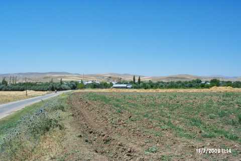 |
|
Type:
|
Mound |
|
Altitude:
|
1050 m |
|
Region:
|
Eastern Anatolia |
|
Province:
|
Elazig |
|
District:
|
Merkez |
|
Village:
|
Tadim |
|
Investigation Method:
|
Survey |
|
Period:
|
Early Iron Age |
|
|
|
 |
|
| It overlooks the Tadim Village, 8 km southwest of the Altinçevre Village, 12 km south-southwest of the provincial center of Elazig. It is located on the western end of Uluova. It covers an area of ca. 75x70x25 m. Sherds dating to the Early Iron Age were collected from the surface. It takes place in the registered archaeological sites list prepared by Ministry of Culture and Tourism. |
| Location: |
| Geography and Environment: |
| History: |
| Research and Excavation: |
| Stratigraphy: |
| Small Finds: |
| Remains: |
| Interpretation and Dating: |