|
©The Archaeological Settlements of Turkey - TAY Project
|
|
|
|
|
|
Degirmençesme |
|
|
For site maps and drawings please click on the picture...  |
For photographs please click on the photo... 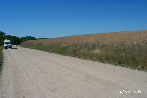 |
|
Type:
|
Mound |
|
Altitude:
|
-35 m |
|
Region:
|
Marmara |
|
Province:
|
Edirne |
|
District:
|
Merkez |
|
Village:
|
Sazlidere |
|
Investigation Method:
|
Survey |
|
Period:
|
|
|
|
|
 |
|
| It is in the village of Sazlidere in the province of Edirne. It lies on the southern side of the road that passes from the south of the stream 900 m far from the narrow road of Sazlidere before the village; in the opposite direction of "Kösen Köy" sign on the right after Iskender; on the Hasköy-Edirne motorway; 12 km to the city center of Edirne. It is a wide and shallow mound immediately south of the road that runs in the northwest-southeast direction. The settlement's borders can not be identified. Sazlidere stream flows on the sloping northern side of the road. |
| Location: |
| Geography and Environment: |
| History: |
| Research and Excavation: |
| Stratigraphy: |
| Small Finds: |
| Remains: |
| Interpretation and Dating: |