|
©The Archaeological Settlements of Turkey - TAY Project
|
|
|
|
|
|
No Name (Ivrindi / Merkez 2) |
|
|
For site maps and drawings please click on the picture...  |
For photographs please click on the photo... 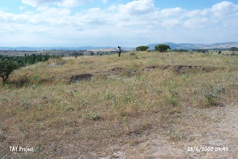 |
|
Type:
|
Cemetery |
|
Altitude:
|
100 m |
|
Region:
|
Marmara |
|
Province:
|
Balikesir |
|
District:
|
Ivrindi |
|
Village:
|
Merkez |
|
Investigation Method:
|
Survey |
|
Period:
|
|
|
|
|
 |
|
| The site is in the Ivrindi District of Balikesir Province. It lies on the western side of the road between the Balikli and Hotaslar villages. It is 2.8 km northeast of Hotaslar. It lies on a wide plain area. A stream flows from its south and there is a high hill to the north. The mound was observed and documented during TAYEx 2000 Marmara region [TAYEx 28.6.2000]. |
| Location: |
| Geography and Environment: |
| History: |
| Research and Excavation: |
| Stratigraphy: |
| Small Finds: |
| Remains: |
| Interpretation and Dating: |