|
©The Archaeological Settlements of Turkey - TAY Project
|
|
|
|
|
|
Birk Harabesi |
|
|
For site maps and drawings please click on the picture...  |
For photographs please click on the photo... 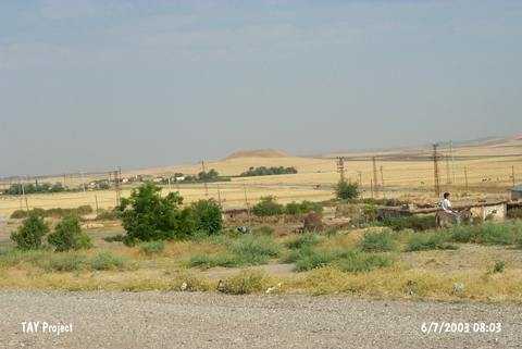 |
|
Type:
|
Mound |
|
Altitude:
|
960 m |
|
Region:
|
Southeastern Anatolia |
|
Province:
|
Siirt |
|
District:
|
Kurtalan |
|
Village:
|
Gürgöze |
|
Investigation Method:
|
Survey |
|
Period:
|
|
|
|
|
 |
|
| It lies 400 m south of Kurtalan-Batman motorway; 4.5 km west of Kurtalan District; west of Siirt Province. It was documented in 1963 during the Prehistoric Survey of Southeastern Anatolia conducted by P. Benedict. It is located 1.2 m west of Gürgöze (Aynik) village. It is close to the Burayn Well Spring; which is 350 m northwest of the mound. It is a flat mound measuring 25 m in height and 150 m in diameter. It is coded under S 63 / 1. The name (Birk Harabesi) is given based on the information provided in the M 46 section of the large map. Benedict reports the presence of ruins on the top hill. Suspected EBA material was recovered from the surface. |
| Location: |
| Geography and Environment: |
| History: |
| Research and Excavation: |
| Stratigraphy: |
| Small Finds: |
| Remains: |
| Interpretation and Dating: |