|
©The Archaeological Settlements of Turkey - TAY Project
|
|
|
|
|
|
No Name (Ivrindi / Merkez 1) |
|
|
For site maps and drawings please click on the picture...  |
For photographs please click on the photo... 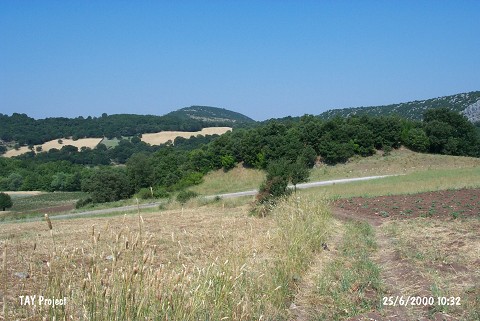 |
|
Type:
|
Mound |
|
Altitude:
|
280 m |
|
Region:
|
Marmara |
|
Province:
|
Balikesir |
|
District:
|
Ivrindi |
|
Village:
|
Yaglilar |
|
Investigation Method:
|
Survey |
|
Period:
|
|
|
|
|
 |
|
| It lies 5 m east of the road; 3.4 km south-southwest of Yagcilar Village; south of Ivrindi District of Balikesir Province. There are limestone cliffs to the northwest and woods east of the mound. The site was observed and documented during TAYEx 2000 Marmara region [TAYEx 25.6.2000]. |
| Location: |
| Geography and Environment: |
| History: |
| Research and Excavation: |
| Stratigraphy: |
| Small Finds: |
| Remains: |
| Interpretation and Dating: |