|
©The Archaeological Settlements of Turkey - TAY Project
|
|
|
|
|
|
Gavurdere |
|
|
For site maps and drawings please click on the picture...  |
For photographs please click on the photo... 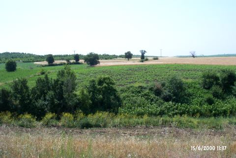 |
|
Type:
|
Mound |
|
Altitude:
|
5 m |
|
Region:
|
Marmara |
|
Province:
|
Edirne |
|
District:
|
Meriç |
|
Village:
|
Akçadam |
|
Investigation Method:
|
Survey |
|
Period:
|
Middle |
|
|
|
 |
|
| It lies east-northeast of the village of Akçadam/Akcadan (Luluköy) in the district of Meriç; province of Edirne. It is to the south-southeast of Gavurdere stream; 700 m after turning left from the fountain 600 m ahead of the cafe of Serem Village; 1.2 km from the village. The village ends in this location. The settlement measures about 60x60 m in dimensions and 1 m in height. On the side of the road that runs parallel to the stream there is a fountain. The site is in the shape of two ridges surrounded by planted fields. Karanovo III-Vesselinovo pottery and samples resembling Maslidere collected from the settlement [Erdogu 1999:348]. |
| Location: |
| Geography and Environment: |
| History: |
| Research and Excavation: |
| Stratigraphy: |
| Small Finds: |
| Remains: |
| Interpretation and Dating: |